Serrano Weed Abatement–Woody Fuel Reduction, Road, Trail & Outfall Repairs 2019-2022

The Serrano Development is a high-end community nestled in the western foothills of El Dorado County within an expansive oak woodland savannah. The community is in a high-risk fire area, with several 100 acres of natural open space adjacent to homes, parks and recreation areas.
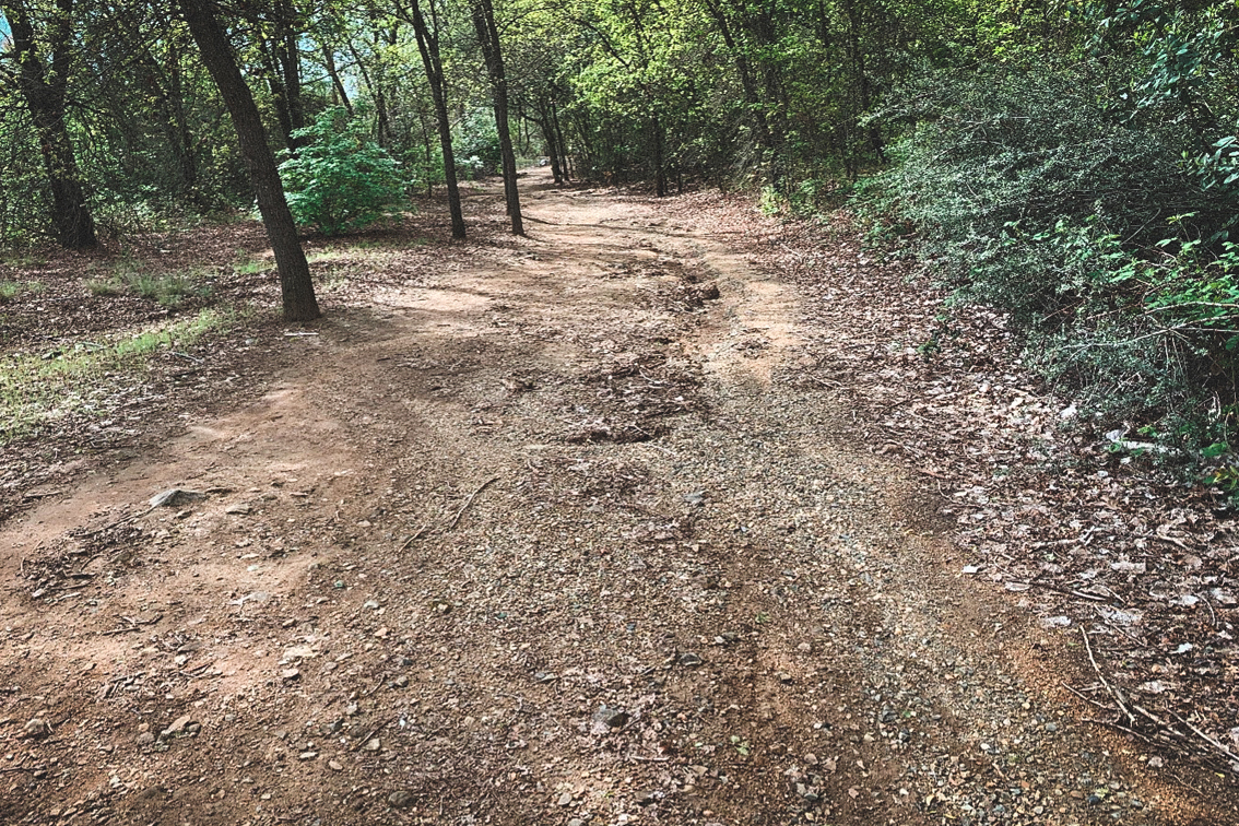
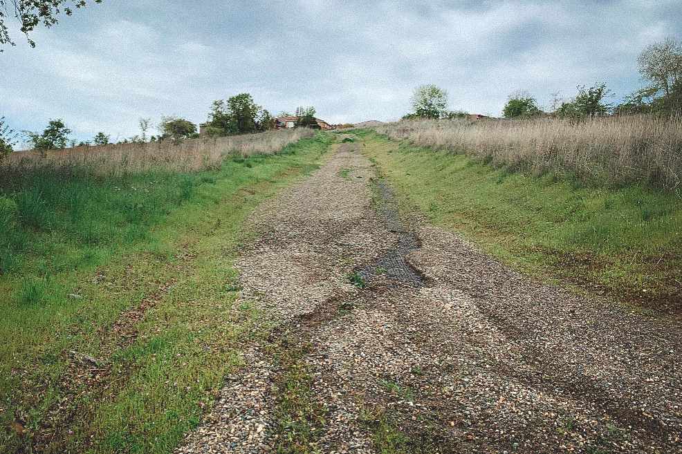
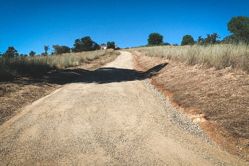
Hanford has been contracted by Serrano to follow El Dorado County’s Wildfire Safety Plan to prepare the development for fire safe living conditions. Properties adjacent to the open space areas are a high priority for fire protection and prevention. In addition to fire protection, Hanford has been repairing the extensive trail system running throughout Serrano. Hanford has repaired approximately 2,000 linear feet of trails. The trails meander throughout the hillsides and wetland areas and are maintained to serve as interior fire breaks as well as for public safety. Poor drainage has deteriorated the trail system, creating rills from runoff. In some instances, beaver have dammed the wetlands leaving trails inundated by water.
DIVISION: Land Management
Location: El Dorado County, CA
CLIENT: Serrano El Dorado Owners’ Association (Serrano)
Contract Period: July 2019 - present
Project Goals


Using hand tools, chainsaws, and pole saws, small trees (3” diameter and below) and other vegetative debris are cut and chipped within a 30-foot defensible buffer around all property lines adjacent to wildland open spaces.
Invasive weeds such as stinkwort, thistle, Himalayan blackberry, and other noxious weeds identified by El Dorado County’s Department of Agriculture were especially targeted for removal.
Vegetation along trails was cut back 2” or below on 5 feet of either side of the trail.
Vegetation along roadsides was trimmed 2” or below on 20 feet of either side of non-landscaped roads.
Hanford crews created trail, roadside, and outfall maps in Google Earth to determine exact locations of repairs, or fire fuel reduction needs.
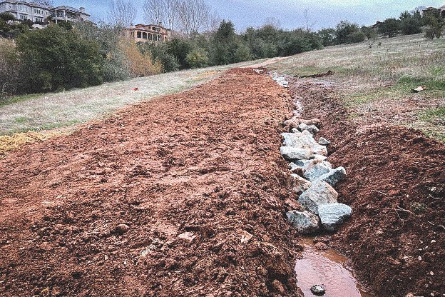
Brow ditches were installed 6”- 8” below the surface and French drains were a minimum of 1’ x 1’, drop inlet drainage was incorporated into the grading of trail slopes.
Trail repairs included, light grading and excavation, placed decomposed granite or aggregated base rock, and in some cases a layer of each.
Laser levels were used to survey the grade and establish a trail surface to a 2% downhill slope to allow surface water to sheet flow towards the newly created drainage and brow ditches.
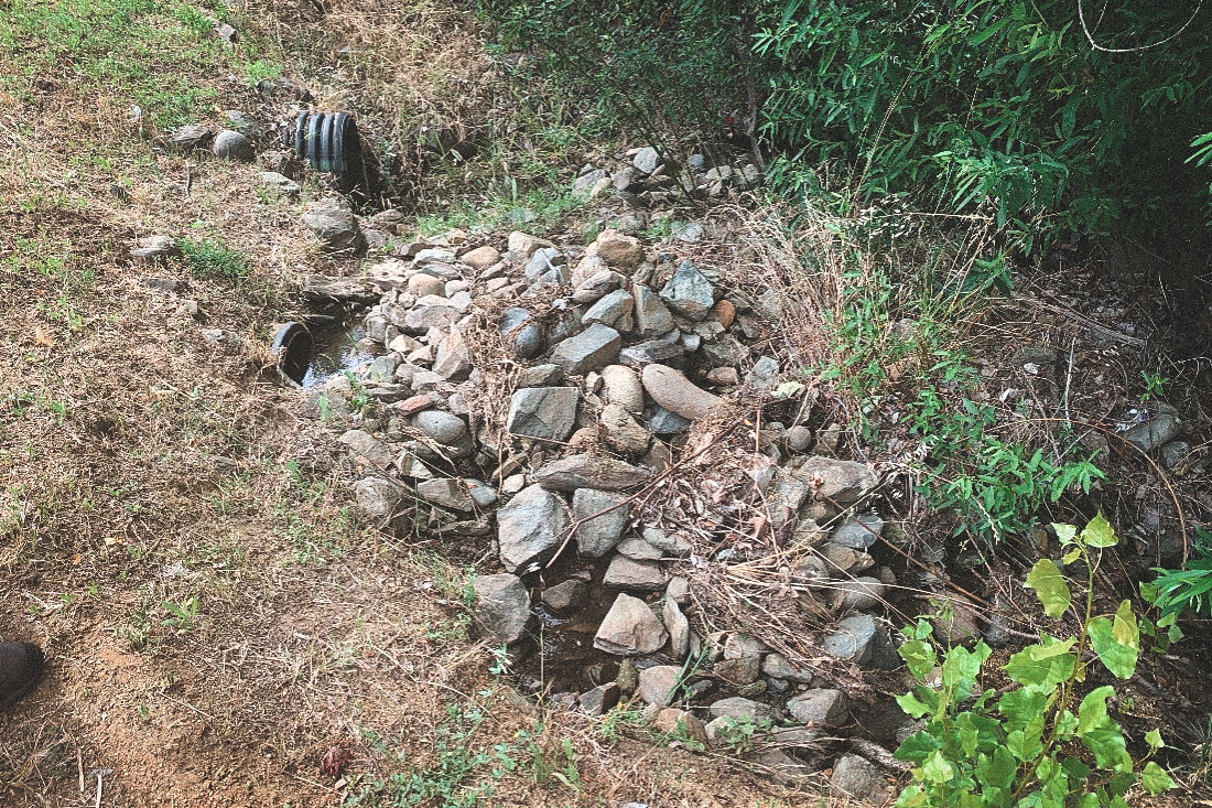
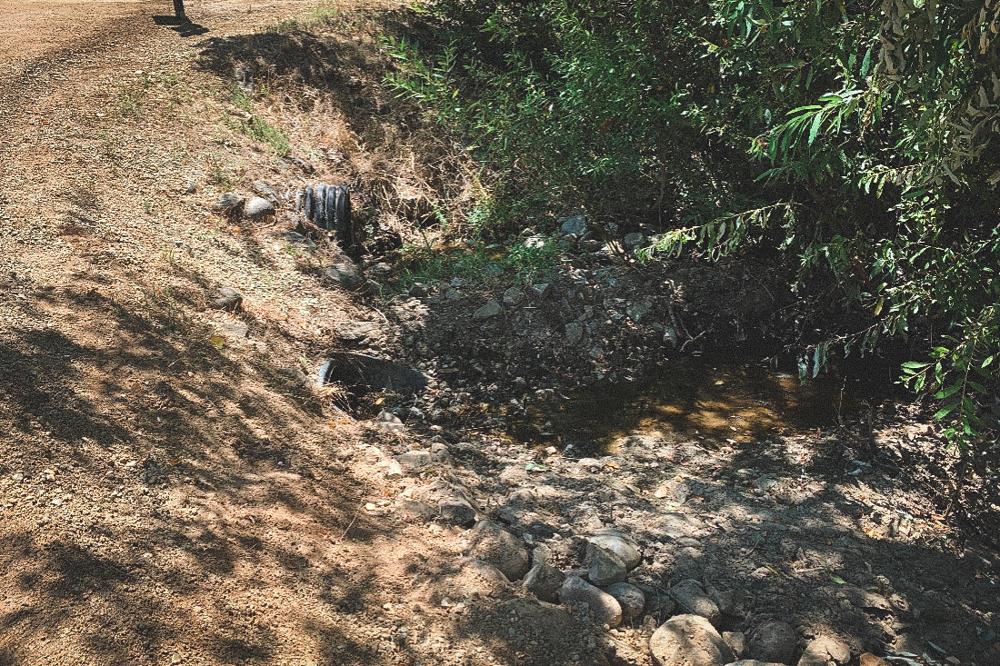
Hanford crews maintained approximately 71 drainage outfalls by clearing and spraying herbicides to prevent any vegetation from growing at least 15’ around drainpipes.
Tree suckers, vegetation, and backed up debris were removed to maintain proper drainage around all 71 outfalls.