
Lake Madrone Sediment Removal
The removal of an estimated 42,000 - 45,000 cubic yards (CY) of sediments including soft sediments, granite sand, and other organic materials from Lake Madrone within channels Berry Creek, Galen Creek, and from coves within Moss Creek and Fern Dell Creek tributaries. This sediment was deposited from the severe winter storms during Winter 2022/2023 (California Severe Winter Storms, Flooding, Landslides, and Mudslides, DR-4683). Excavated sediment material from Lake Madrone will be transported off-site to a certified and qualified disposal site and a bathymetric study of Lake Madrone will be conducted after removal is completed to certify new elevations and water storage capacity for the Berry Creek community.

Bale Slough - Bear Creek Restoration Project Group A, Sites 1-5
Hanford graded the creek and floodplain and installed woody debris and native plants to support the site in restoring the stream and floodplain function, improve the quality and resilience of aquatic and terrestrial species, and reduce property damaged due to sediment delivery associated with bank erosion. Additionally, the wood structures aided in creating enhanced flows during rearing and foraging life stages of steelhead trout while contributing to the reduction of fine sediment discharges and streambed stabilization.
Black Lake Wetland Mitigation Project
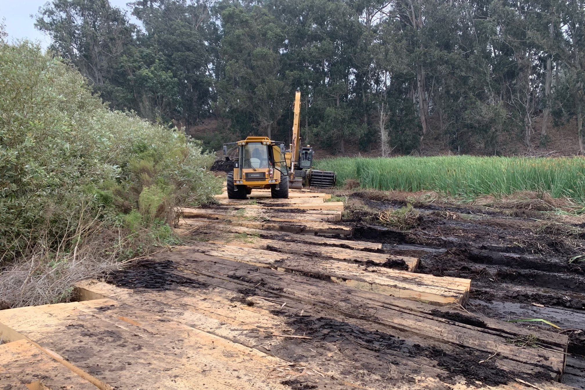
The Black Lake Ecological Area Habitat Restoration Project is located east of Oceano Dunes State Recreation area in San Luis Obispo County, California. The project description to restore and enhance approximately 45 acres of coastal wetlands and adjacent uplands within the 160-acre Black Lake Canyon Ecological Area (BLEA) located near the community of Nipomo, in southern San Luis Obispo County, California.

Ackerson Meadow Restoration
Ackerson Meadow is the largest mid-elevation meadow in Yosemite National Park. The meadow is a vital wildlife corridor and habitat for endangered species such as the great grey owl and little willow flycatcher. Ackerson Meadow is facing significant challenges as a result of a century of landscape manipulation…
Salmon Habitat Enhancement at Muir Woods, Ph 2
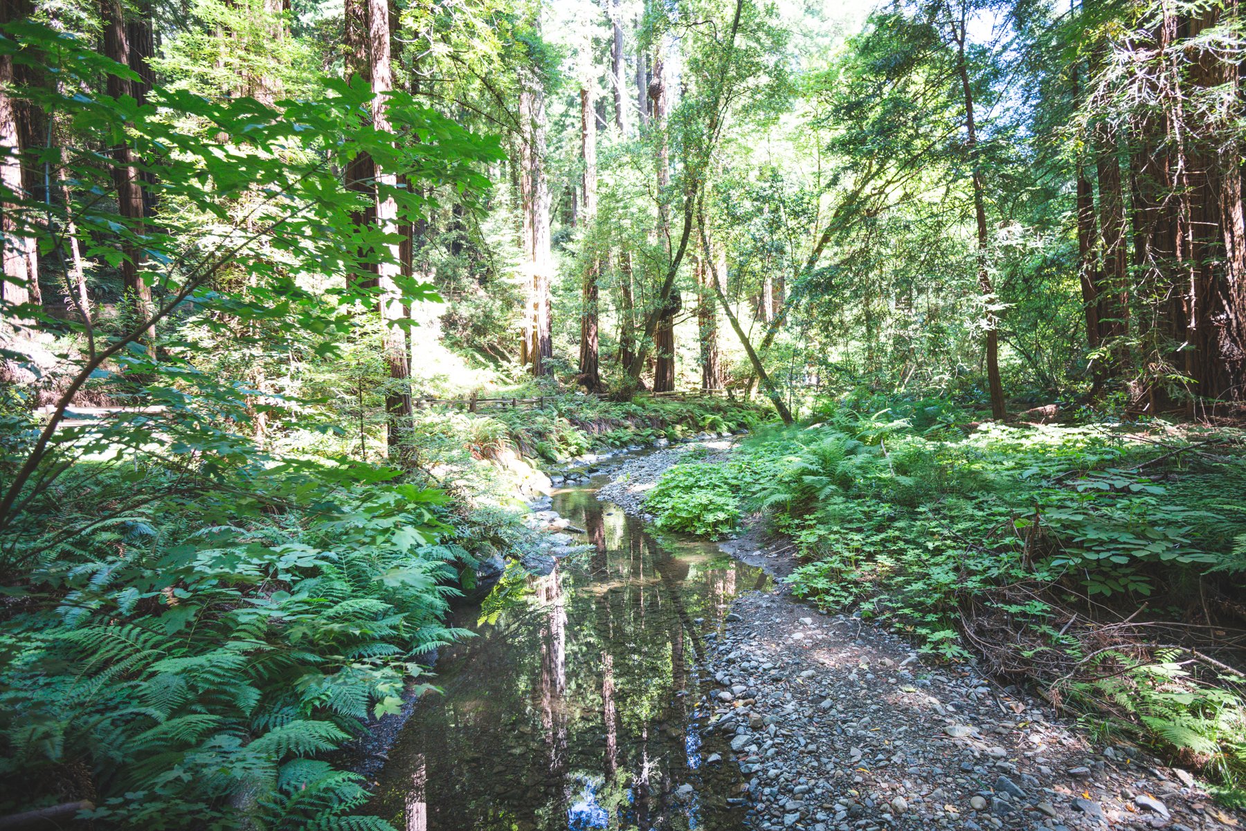
This project is to conduct salmon habitat restoration actions in Redwood Creek at Muir Woods National Monument. The work requires use of heavy equipment within the channel, per drawings, to remove rock slope protection (RSP) from banks, grade some banks, install rock in tie-backs, install Large Woody Debris structures, and remove an asphalt trail.
Bull Creek Hamilton Floodplain Restoration Project
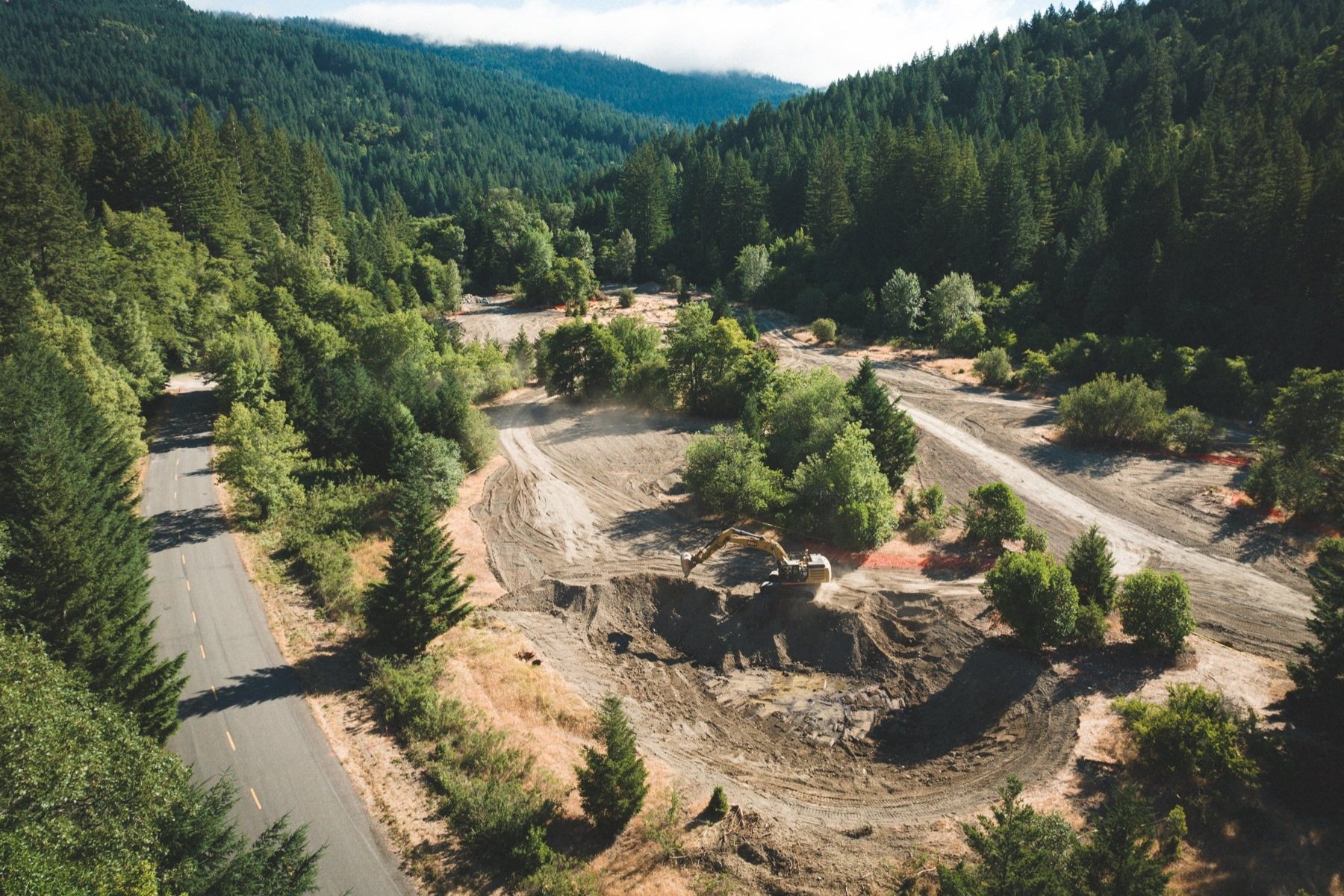
The Bull Creek channel and its watershed exemplify the North-Coast’s century-and-a-half history of early settlement centered on rapid and excessive resource extraction leading to erosion, instream sediment deposition, and reduced quality and quantity of instream salmonid habitat.

San Geronimo
The project consisted of removal of defunct fish ladder and pool structures and installation of new channel grades and rock structures, floodplain creation, new pedestrian bridge and native plant installation.

Hope Valley Bank Stabilization Project
The Hope Valley Bank Stabilization Project was a creek and meadow restoration project located on the West Fork Carson River in Hope Valley, Alpine County CA. The project was a partnership between the Alpine Watershed Group (AWG), the CA Department of…
Cedar Creek Dam Removal
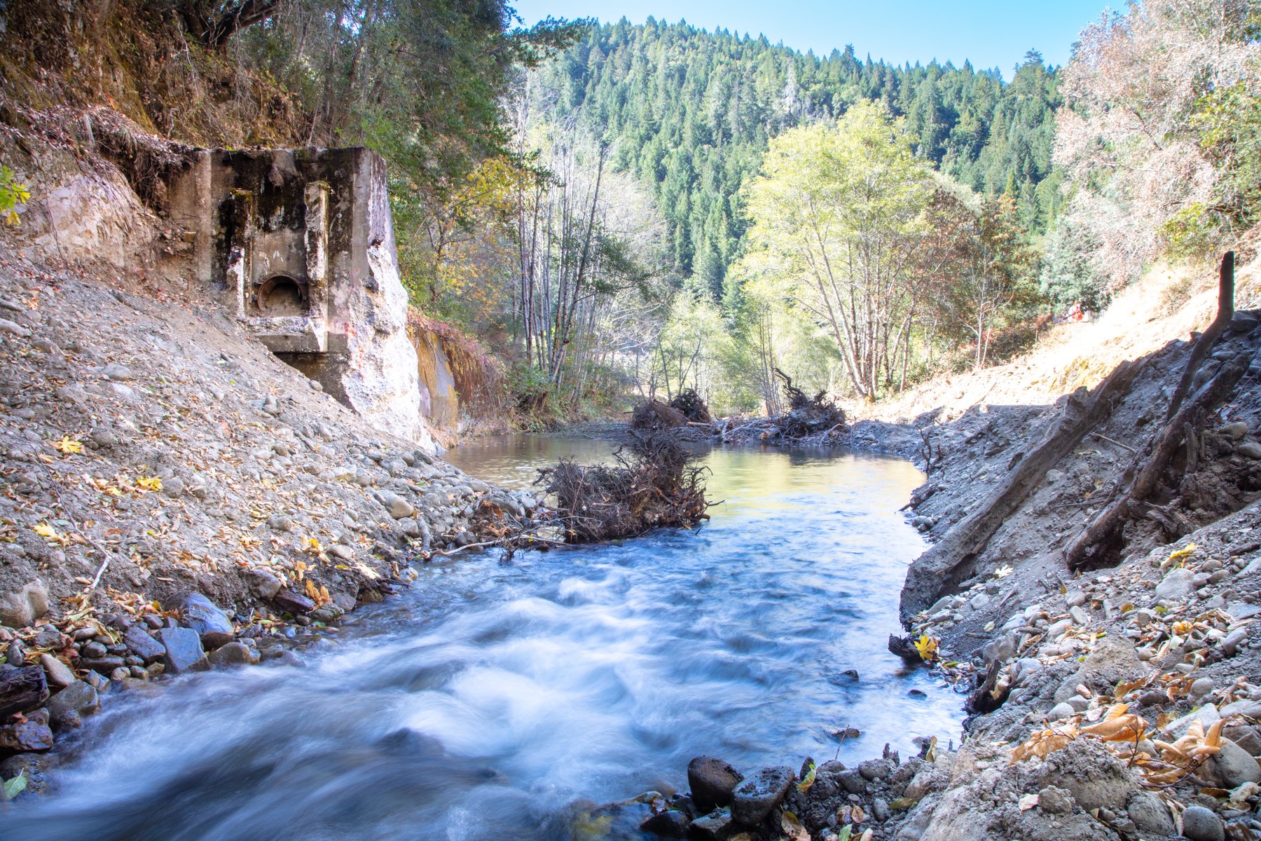
Work demolished and removed the former Cedar Creek Hatchery concrete dam and associated structures which were a migration barrier to anadromous salmonids.
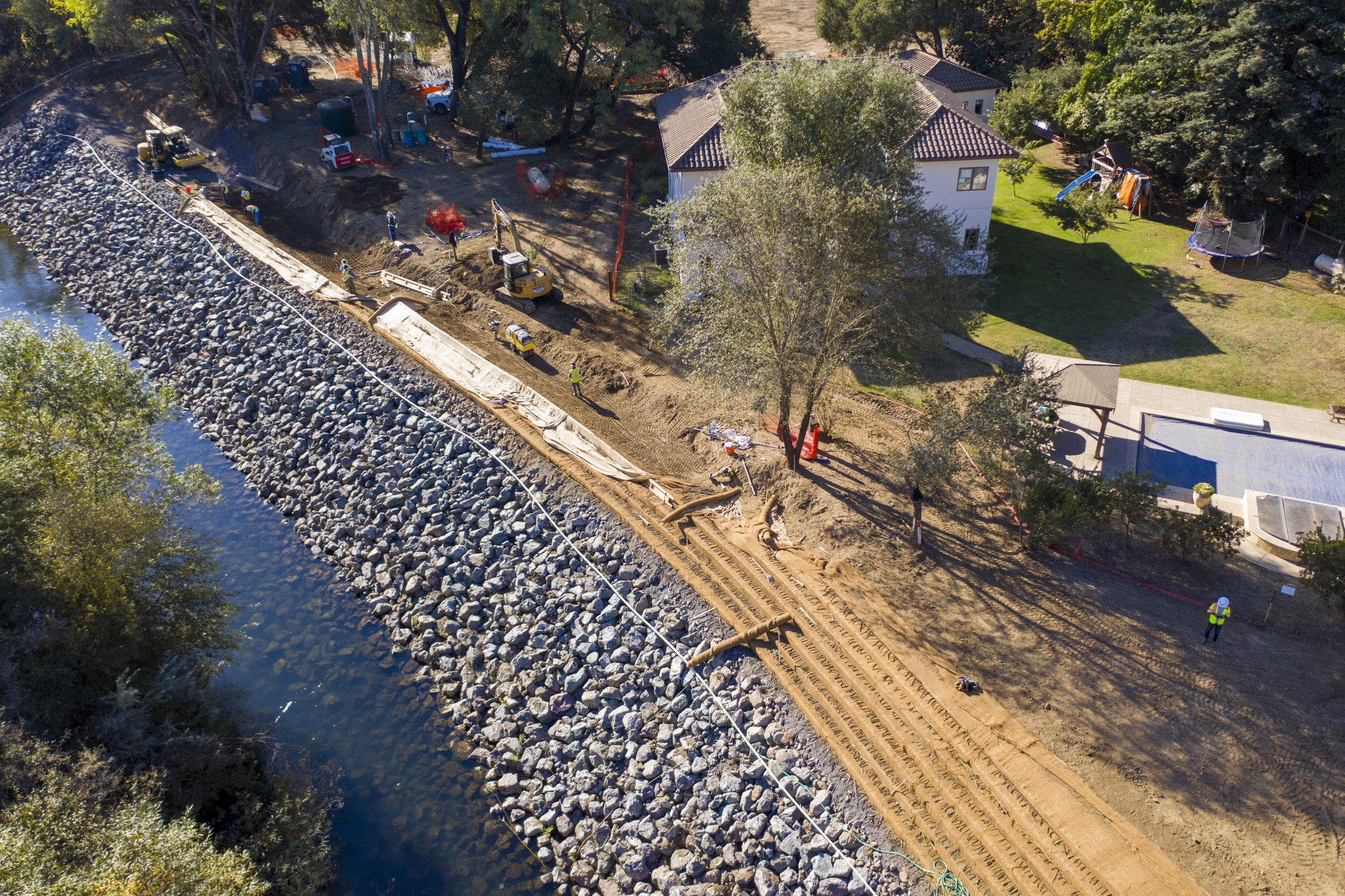
Dry Creek Habitat
Excavation of backwater alcoves and side channels into the floodplain areas of Dry Creek, installation of habitat and stabilization structures, stabilization of banks, planting and replanting riparian vegetation and trees, removal of non-native riparian vegetation, construction…

Lookout Slough Tidal Habitat Restoration Project
The Lookout Slough Project will provide the California Department of Water Resources (DWR) with high-quality Delta smelt habitat to help the state meet the requirements of an Endangered Species Act biological opinion. EIP is providing DWR with a large-scale…
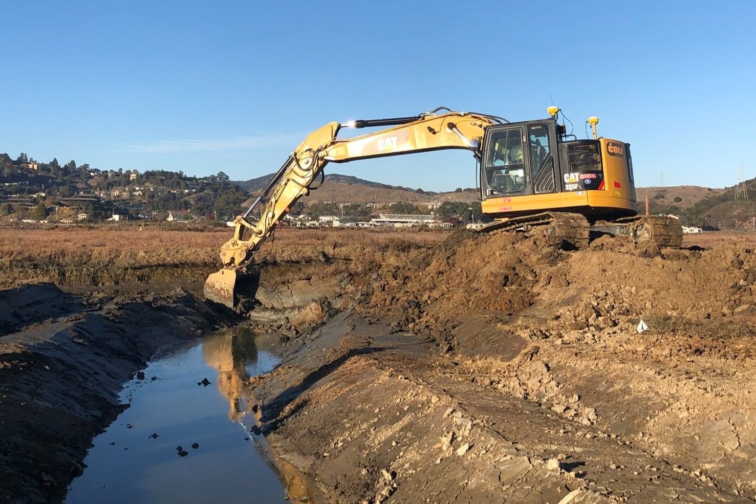
Corte Madera 4-acre Tidal Marsh Restoration Project
Restoration of 4 acres of tidal wetlands and 0.3 acres of seasonal wetlands at the District's property adjacent to the Corte Madera Ecological Reserve to create suitable habitat for the endangered Ridgway rail.
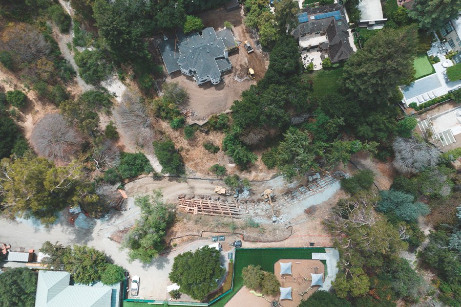
San Francisquito Creek Bank Stabilization Phase II
A creek bank stabilization project along 275 linear feet off the eastern bank of the San Francisquito Creek in Palo Alto. At the bank toe, approximately 600 cubic yards of boulders with approximately…
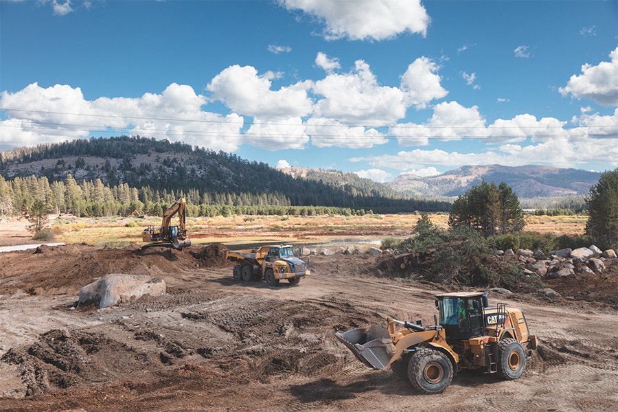
Van Norden Meadow and Lytton Fan Restoration - Phase I
The restoration project lowered an existing earthen dam and use the material to fill a 2.5-mile stretch of the South Yuba River channel to restore the Van Norden Meadow and improve groundwater storage.

Guerneville River Park Improvements Phase 2
Hanford installed approximately 200 linear feet of 1-2 ton mixed Rock Slope Protection along the Russian River at Guerneville River Park. This RSP wall was built around a new concrete small portage ramp that connects to new and improved ramp access and parking area.

Dry Creek Habitat Enhancement, Phase III Part 3
The Dry Creek Habitat Enhancement, Phase III Part 3 restoration project was a multi-site/multifaceted channel and habitat restoration project located on Dry Creek just northwest of Healdsburg in unincorporate Sonoma County CA.

Butano Creek Floodplain Restoration Project
The Butano Creek Floodplain Restoration Project was a multi-site/multifaceted channel and floodplain connectivity habitat restoration project located on Butano Creek just south of Pescadero in unincorporate San Mateo County CA.

Butano Creek Channel Stabilization and Habitat Enhancement
The Butano Creek Channel Stabilization and Habitat Enhancement at the Cloverdale Road Bridge Project was a creek stabilization and habitat restoration project located on Butano Creek just south of Pescadero in unincorporate San Mateo County CA.
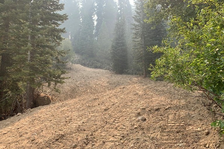
Deer Park Legacy Erosion Control Project
The Deer Park Erosion Control Project was an erosion and sediment control project located on the former ski slopes of the abandoned Deer Park Ski Area in Placer County, CA. The project was a partnership between the Truckee River Watershed Council (TRWC)…

Lagunita Diversion Dam Removal and Creek Restoration Project
The Lagunita Diversion Dam Removal and Creek Restoration Project is located in the central portion of the Coast Ranges a geomorphic province of California. Northwest and southeast trending valleys and ridges characterize the regional morphology of the province.
